Home > Europe > United Kingdom > England > London > Boroughs > Islington
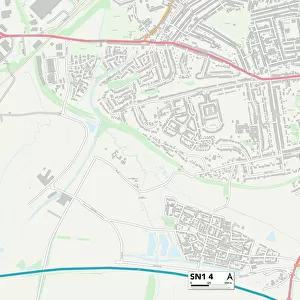
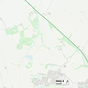
Swindon SN1 2 Map

![]()
Wall Art and Photo Gifts from Map Marketing
Swindon SN1 2 Map
Postcode Sector Map of Swindon SN1 2
Media ID 19981726
Alfred Street Amber Court Bathurst Road Belgrave Street Broad Street Byron Street Corporation Street County Road Drove Road Durham Street Edgeware Road Farriers Close Fleming Way Gladstone Street Gordon Road Graham Street Leicester Street Lincoln Street Manchester Road Newcastle Street Northampton Street Rosebery Street Salisbury Street Southampton Street Spring Close Spring Gardens Swindon Westmorland Road York Road Portsmouth Street Turl Street
FEATURES IN THESE COLLECTIONS
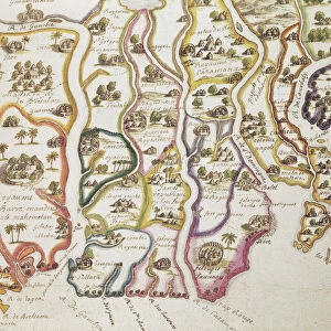
> Africa
> The Gambia
> Maps
> Arts
> Artists
> D
> Alfred
> Related Images
> Europe
> United Kingdom
> England
> County Durham
> Durham
> Europe
> United Kingdom
> England
> Durham
> Durham
> Europe
> United Kingdom
> England
> London
> Boroughs
> Islington
> Europe
> United Kingdom
> England
> Manchester
> Manchester
> Europe
> United Kingdom
> England
> Westmorland
> Europe
> United Kingdom
> Northern Ireland
> County Down
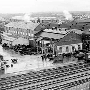
> Newcastle
> Map Marketing
> Postcode Sector Maps
> SN - Swindon
> Maps and Charts
> Related Images
MADE IN THE USA
Safe Shipping with 30 Day Money Back Guarantee
FREE PERSONALISATION*
We are proud to offer a range of customisation features including Personalised Captions, Color Filters and Picture Zoom Tools
SECURE PAYMENTS
We happily accept a wide range of payment options so you can pay for the things you need in the way that is most convenient for you
* Options may vary by product and licensing agreement. Zoomed Pictures can be adjusted in the Cart.