Home > Universal Images Group (UIG) > Universal Images Group > Satellite and Aerial > Planet Observer 4
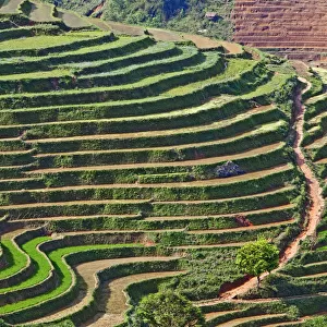
Region of Lower Normandy, France, Relief Map

![]()
Wall Art and Photo Gifts from Universal Images Group (UIG)
Region of Lower Normandy, France, Relief Map
Relief map of Lower Normandy, France, with regional boundaries. This image was compiled from data acquired by LANDSAT 5 & 7 satellites combined with elevation data
Universal Images Group (UIG) manages distribution for many leading specialist agencies worldwide
Media ID 9608091
© Planet Observer/UIG
Caen Coastline English Channel Lower Normandy Relief Map Shore Calvados Manche Orne Satellite View
FEATURES IN THESE COLLECTIONS
> Universal Images Group (UIG)
> Universal Images Group
> Satellite and Aerial
> Planet Observer 4
> Universal Images Group (UIG)
> Universal Images Group
> Satellite and Aerial
> Planet Observer 6
EDITORS COMMENTS
This print showcases the stunning region of Lower Normandy, France, through a meticulously detailed relief map. Created using data acquired by LANDSAT 5 & 7 satellites combined with elevation data, this image offers a unique perspective on the topography and geographical features of the area. The map highlights the region's boundaries while emphasizing its breathtaking coastline along the English Channel. From the vibrant city of Caen to the picturesque regions of Calvados, Orne, and Manche, every corner is beautifully depicted in this horizontal composition. With its vibrant colors and precise cartography, this print serves as an excellent tool for studying physical geography or simply admiring Europe's diverse landscapes. The absence of people allows viewers to immerse themselves fully in Lower Normandy's natural beauty without any distractions. Whether you are an avid traveler seeking inspiration or a geography enthusiast exploring new horizons from home, this image provides an immersive satellite view that transports you directly to Lower Normandy. Its combination of artistry and scientific accuracy makes it a valuable addition to any collection
MADE IN THE USA
Safe Shipping with 30 Day Money Back Guarantee
FREE PERSONALISATION*
We are proud to offer a range of customisation features including Personalised Captions, Color Filters and Picture Zoom Tools
SECURE PAYMENTS
We happily accept a wide range of payment options so you can pay for the things you need in the way that is most convenient for you
* Options may vary by product and licensing agreement. Zoomed Pictures can be adjusted in the Cart.